
|
The weather has been pretty quite recently. Spring is upon us and that means the possibility of severe weather returning to Indiana. The Storm Prediction Center has placed the Howard county area under a slight risk with areas immediately to our south and southwest under an enhanced risk 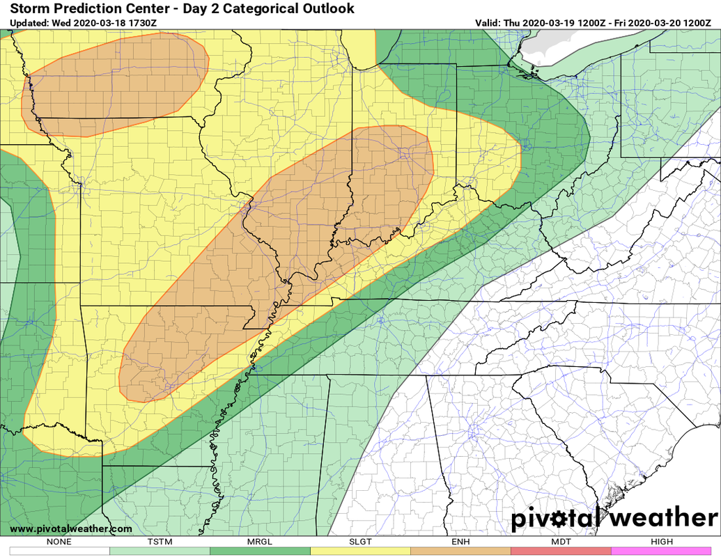 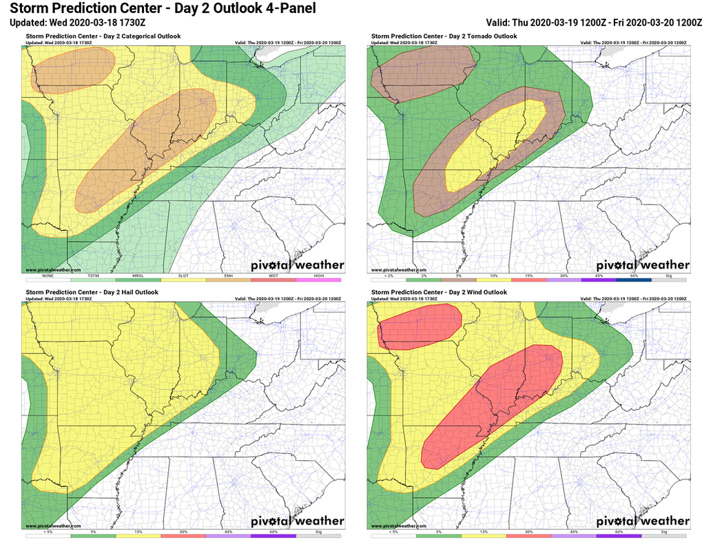 The highest risks are for wind and hail. There is a lower possibility of some tornadoes as well. There could be two waves. 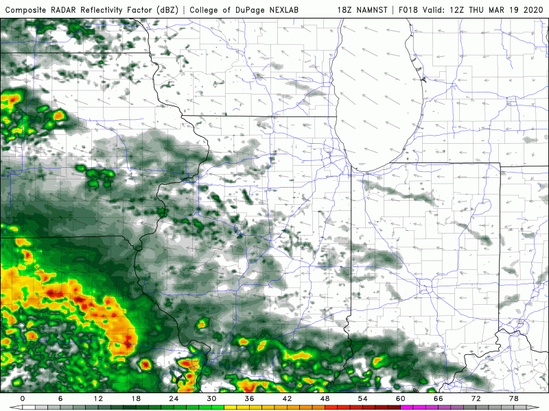 The first wave looks to arrive in the early afternoon. This wave will have more heavy rain. The strength of the second round will de dependent on how unstable the atmosphere is after this first round and if there is any breaks in the cloud cover tomorrow afternoon. This would just add juice to the fire. This round looks to arrive in the overnight hours and be the more significant round. it could start off as supercells just ahead of the cold front, but would be in the form of a line once it reaches the Howard county area. This would also be a good opportunity to remember your severe weather preparedness plan with your family. This is our first potential severe weather event of the season and its actually the annual Severe weather preparedness week.  Keep an eye on the weather tomorrow and I will update you all as necessary.
0 Comments
|
 RSS Feed
