|
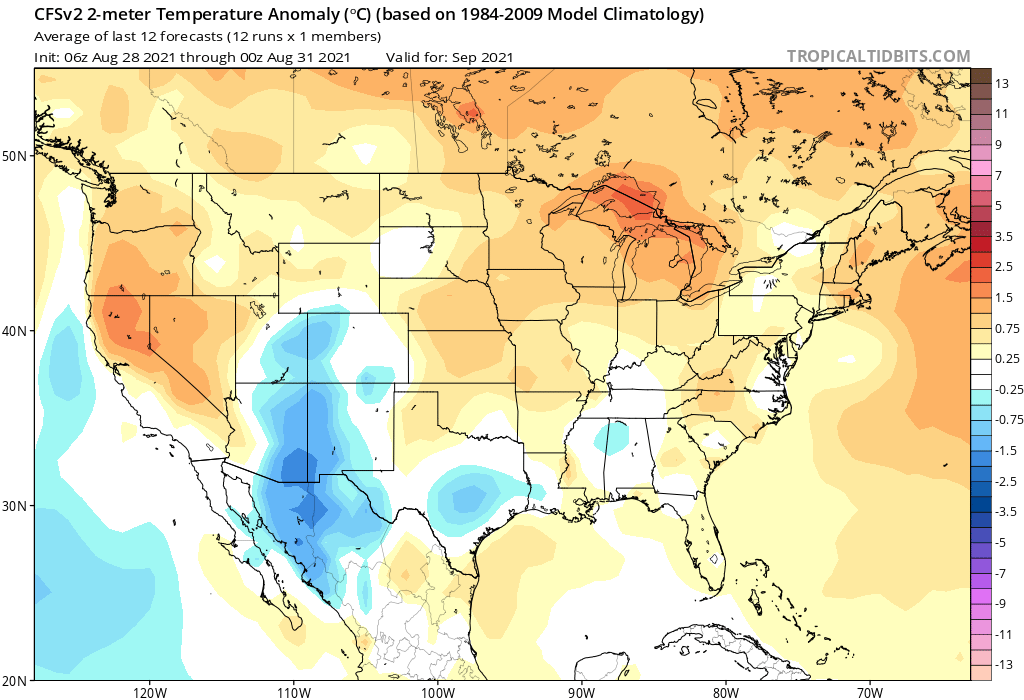
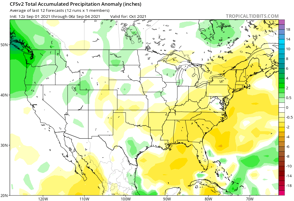
Happy start of Labor Day weekend! it will be a pretty good couple days with high temps in the upper 70s to lower 80s north to south. The rain we have received today will hopefully put a dent in the drought that currently roughly 45% of the state us experiencing. 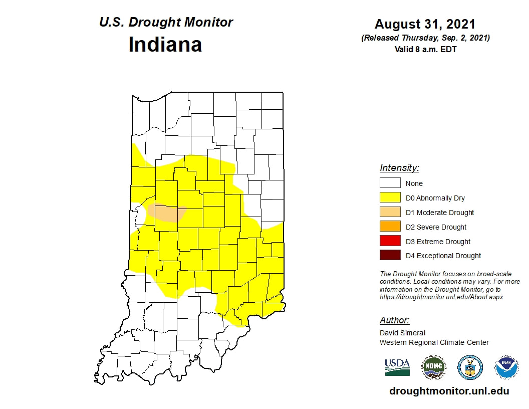 Before we talk about about September lets talk about August. We experienced several heatwaves with temperatures getting into the 90s with some oppressive dewpoints at times. pretty much the entire state saw above average temperatures. 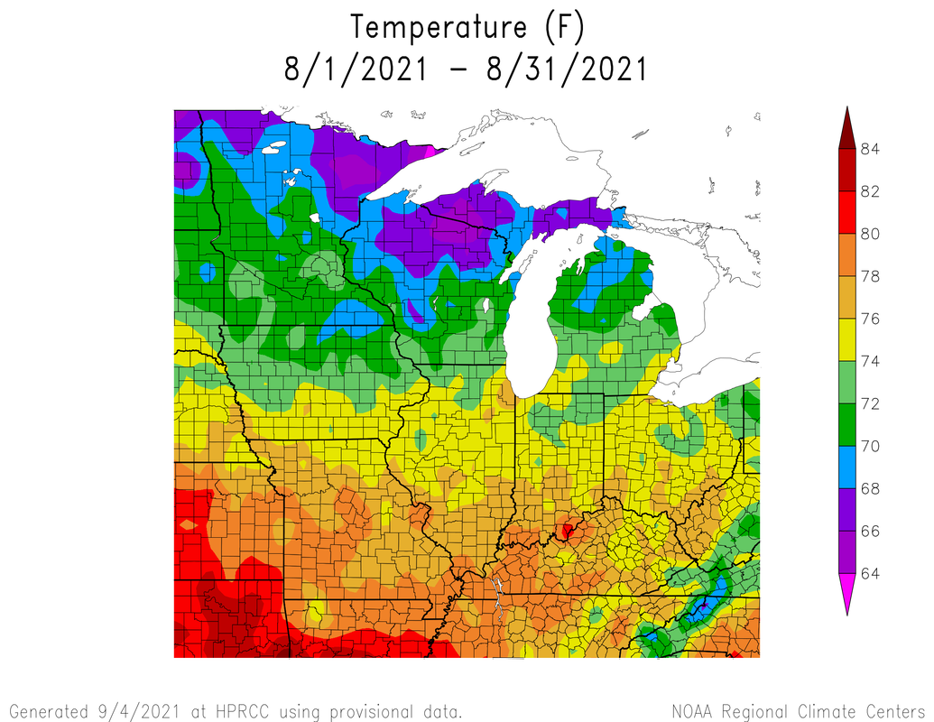 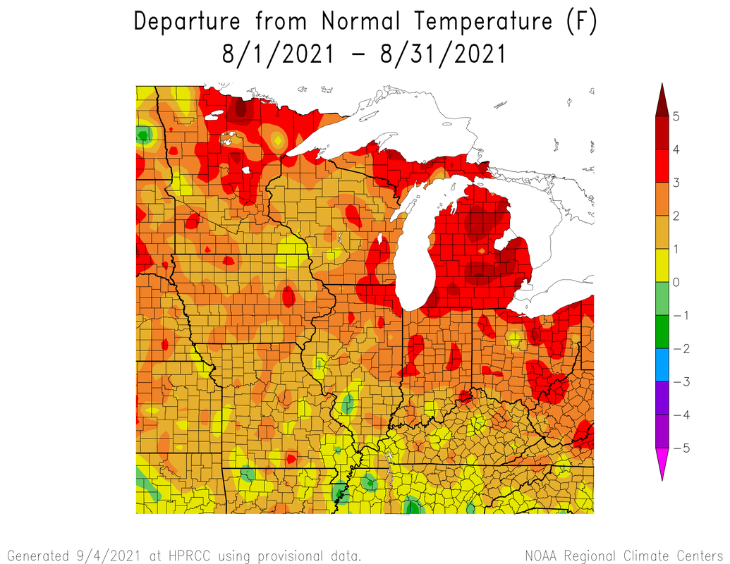 For precipitation, central Indiana was in a bit of a "above average sandwich." That being central Indiana was generally drier than average, while parts of northern and southern areas were above average. 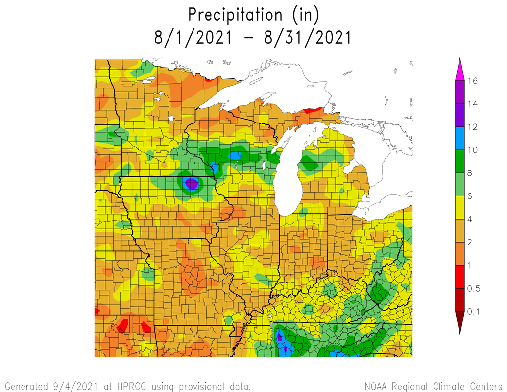  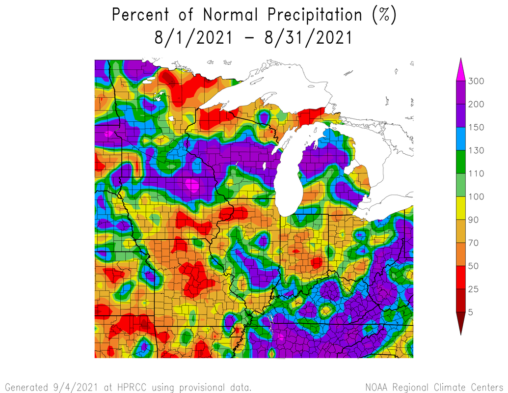 We are starting the month cooler than average-this wont last.  We should see cooler temps until we see a dome of high building in from the 12th to the 18th. This should be the last time we see highs in the upper 80s-90s this year. Following this heatwave, we should see a cold front moving through bringing in more cool air and potentially severe weather. Generally September should be warm and see average to above average precipitation.  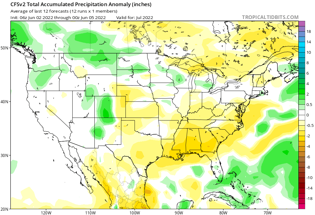 For fun here tare the CFS outlooks for October and November.
There is the caveat that any tropical activity or severe weather could change the forecast. Since fall is a transition season, we have differences in baroclinicity or major differences in air masses and hence potential of severe weather
Once we get closer to winter, would you all like to see a winter outlook of some kind?
0 Comments
|
 RSS Feed
